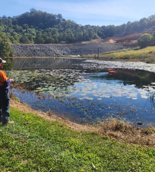
Bathymetric / Hydrographic & Dam Surveys
View ServiceBathymetric and Dam Surveys At NKWP Surveyors, we are excited to introduce our latest investment…

Drone Surveying & Mapping – Photogrammetry and LIDAR
View ServiceDrone surveying and mapping is an advanced technology used to create exceptionally detailed and accurate maps and surveys of specific areas.
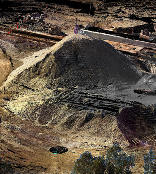
Volume Surveys & Landfill Calculation
View ServiceVolume and landfill surveys are specific types of land surveys that are used to measure and calculate the volume of material, such as earth or waste, in a particular area.
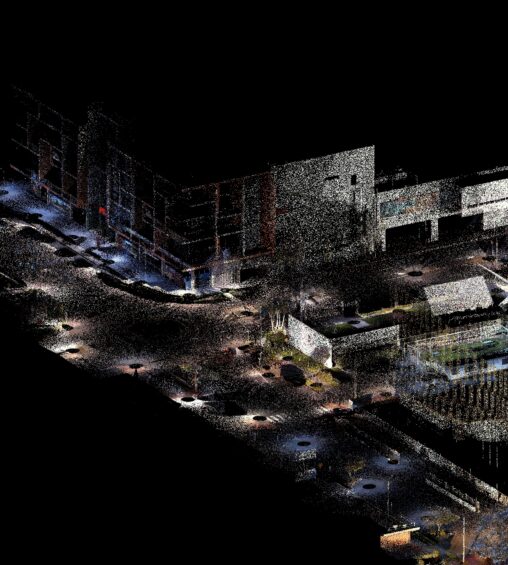
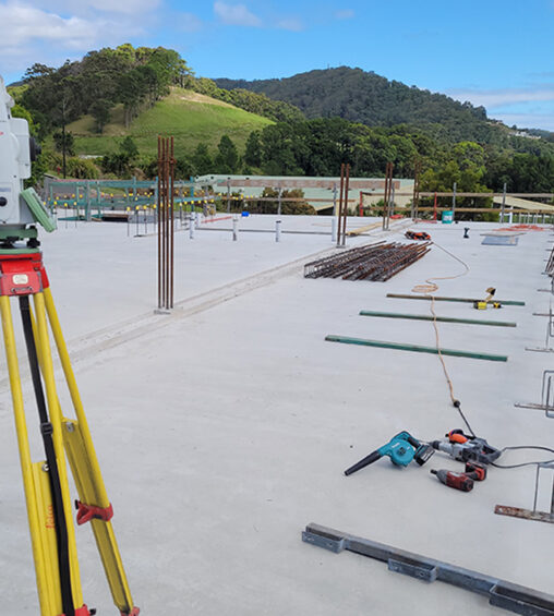
3D Laser Scanning
View Service3D laser scanning is a revolutionary technology used to create an intricate and accurate 3D model of an object or environment.
Detail & Contour Surveys
View ServiceDetail and contour surveys are specific types of land surveys that yield detailed information about the shape, size, and features of a given piece of land.
As Built & Works as Executed Surveys
View ServiceAs-Built or works-as-executed surveys are a specific form of land survey conducted after the completion of construction work on a given site or project.

Strata Title Plans
View ServiceStrata title plans represent an exclusive property ownership model predominantly applicable to multi-unit developments.
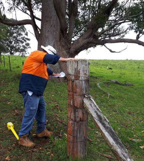
Property Boundaries & Identification Surveys
View ServiceIdentification surveys, commonly referred to as boundary surveys, are a specific type of survey conducted to identify and demarcate the boundaries of a piece of land.
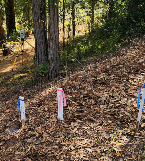
Building Set Out Surveys
View ServiceA building set out survey is a specialised land survey utilised to mark out the precise location of a proposed building on a site.
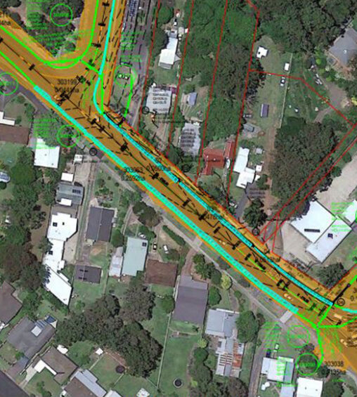
Subdivision Design & Management
View ServiceAt NKWP Surveyors, our established reputation in Coffs Harbour, New South Wales, and beyond, has been nurtured over the years by providing superior subdivision design and management services.
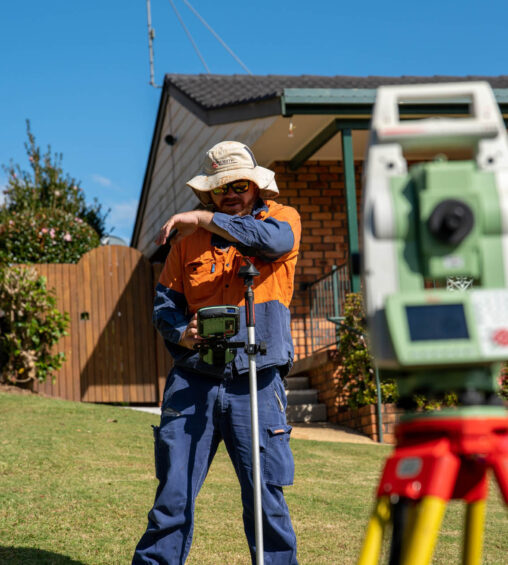
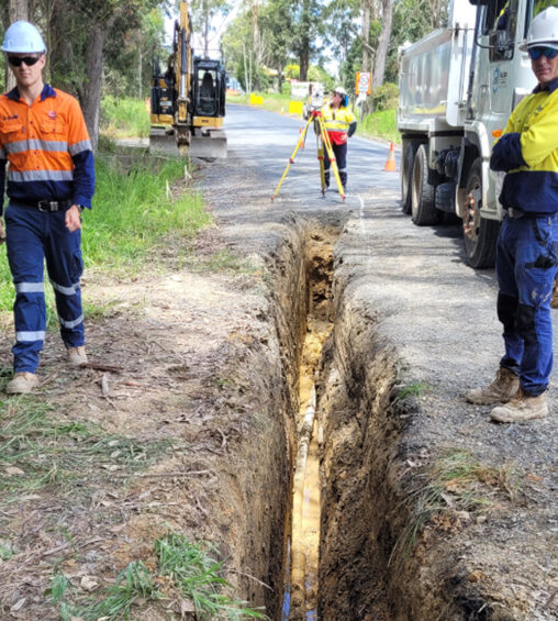
Civil & Construction Set Out Surveys
View ServiceConstruction set out surveys, integral to the building process, involve marking out the precise position of proposed construction works on a site.